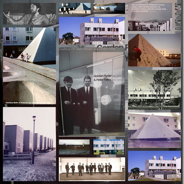
The grave of a map

My good friends:
It is with a heavy hand on my heart that I post this photo of the grave of the beautiful map up at the top of the estate, to the east of the T1a split levels on Hazeldene Avenue, directly down to the road from the viewing area...
these 2 beautiful paving stones leading to nowhere led directly to the map...maybe the bones of it lie beneath the earth tolchocked to smithereens by some powerful bruiseboy...
As you went down the estate the vandalism on each map became progressively worse...
This one only had circles round the posh kids houses(like Britt, etc) drawn by them in pencil, so that it could be rubbed off(well done! eminently sensible...) by the time you tried to use the map outside the bus terminus down Eland the map was pure white, all houses and numbers on it being scratched off, rendering it useless as a map(they scratched off their own homes initially to mark their 'terrritory'...then they did the others to stop uncertain postmen being able to find their way about on the estate or to deliver post...)
but at least thou, oh humble resident and friend of the blog know why these odd beautiful paving stones are where they are eh?...


Comments
Post a Comment
Don't be shy - let it fly